01 / Geospatial analysis
Spatial evidence that holds up.
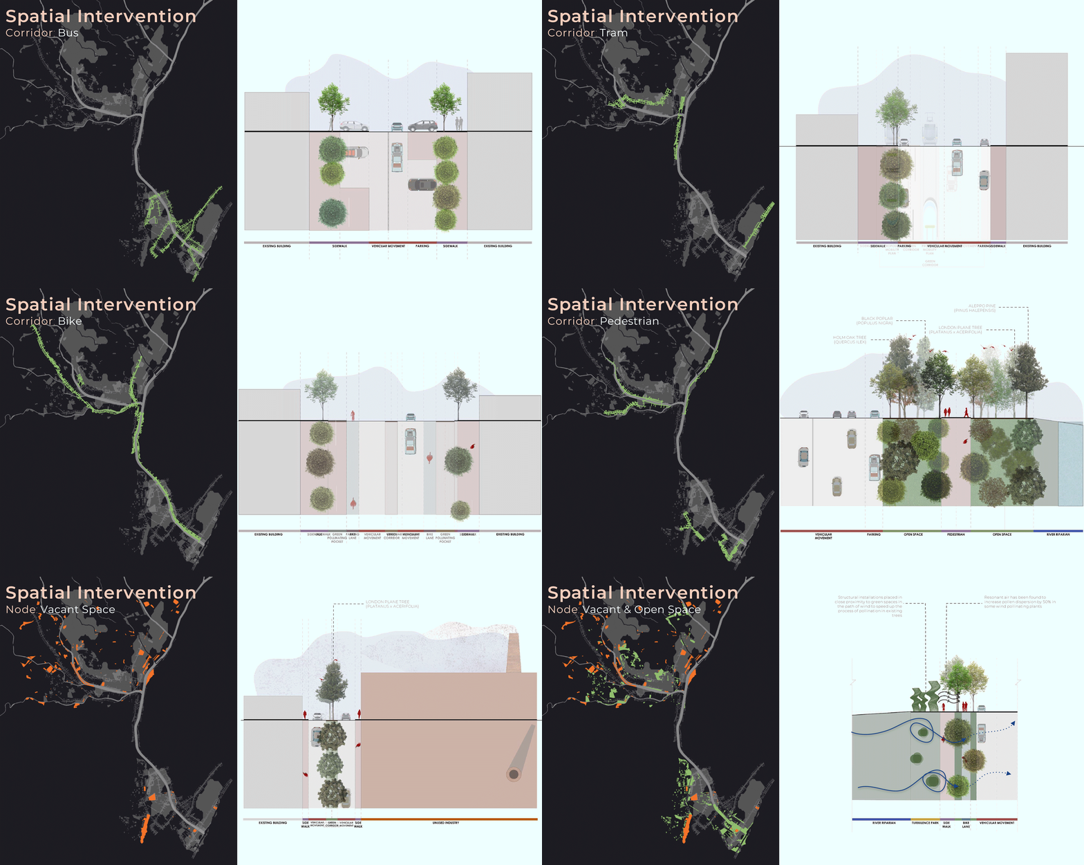
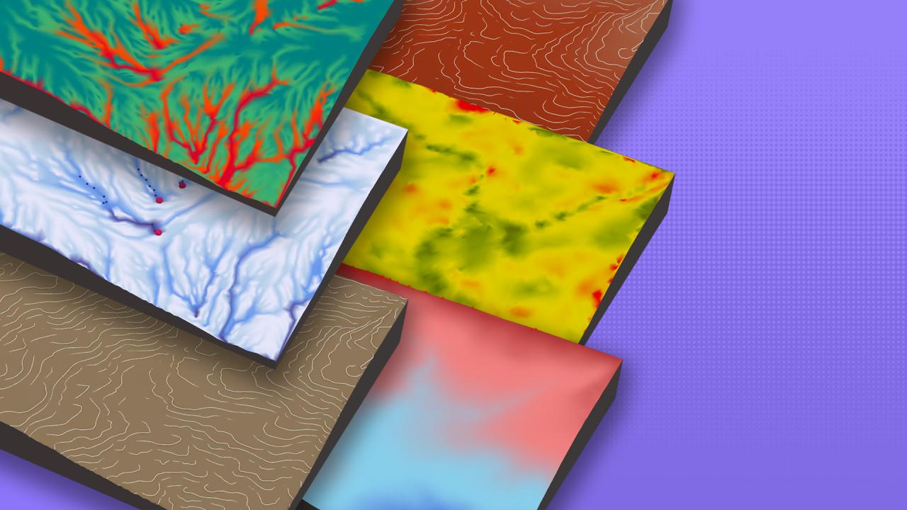
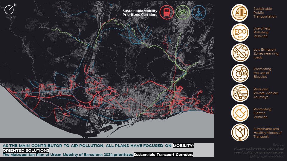
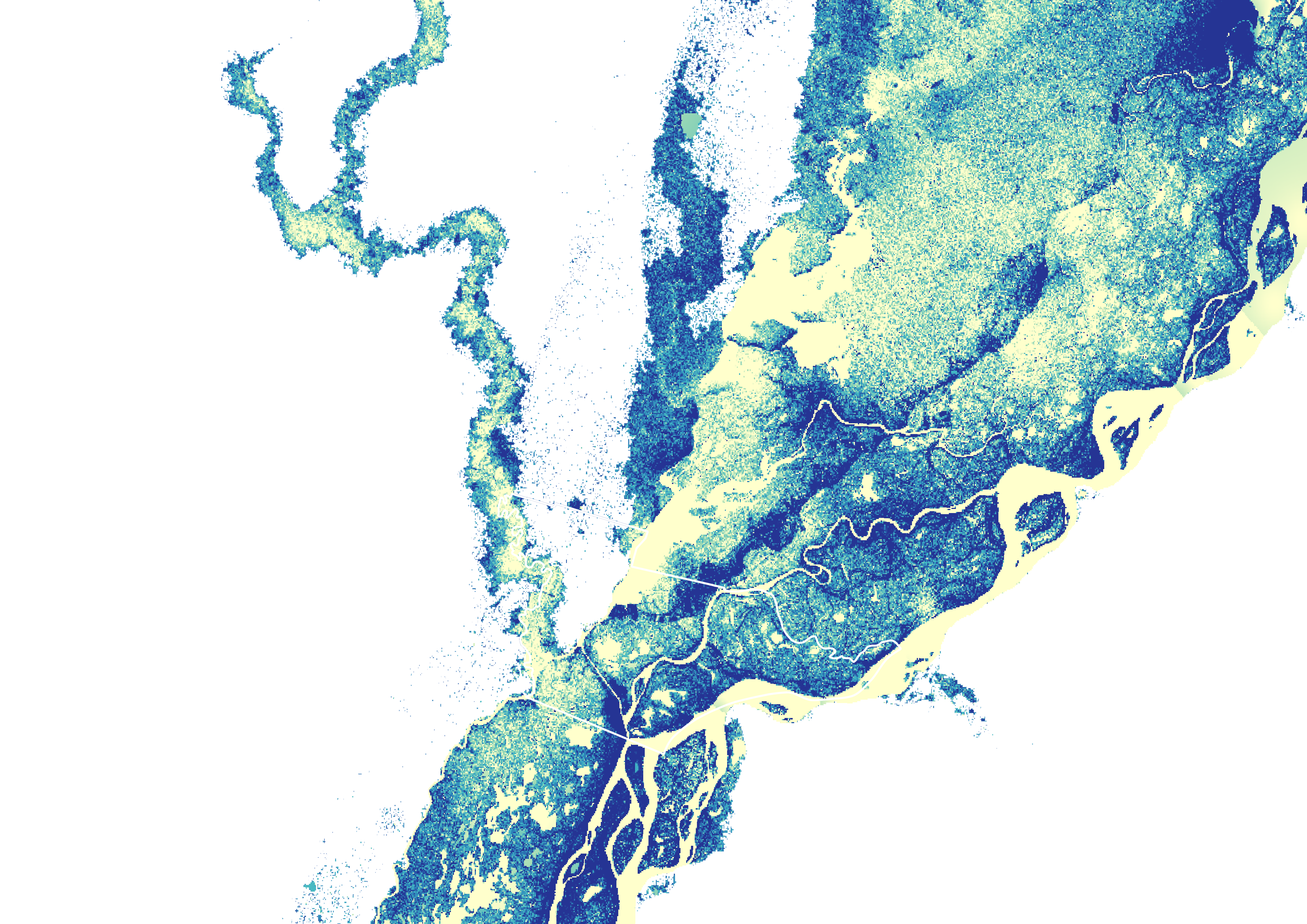
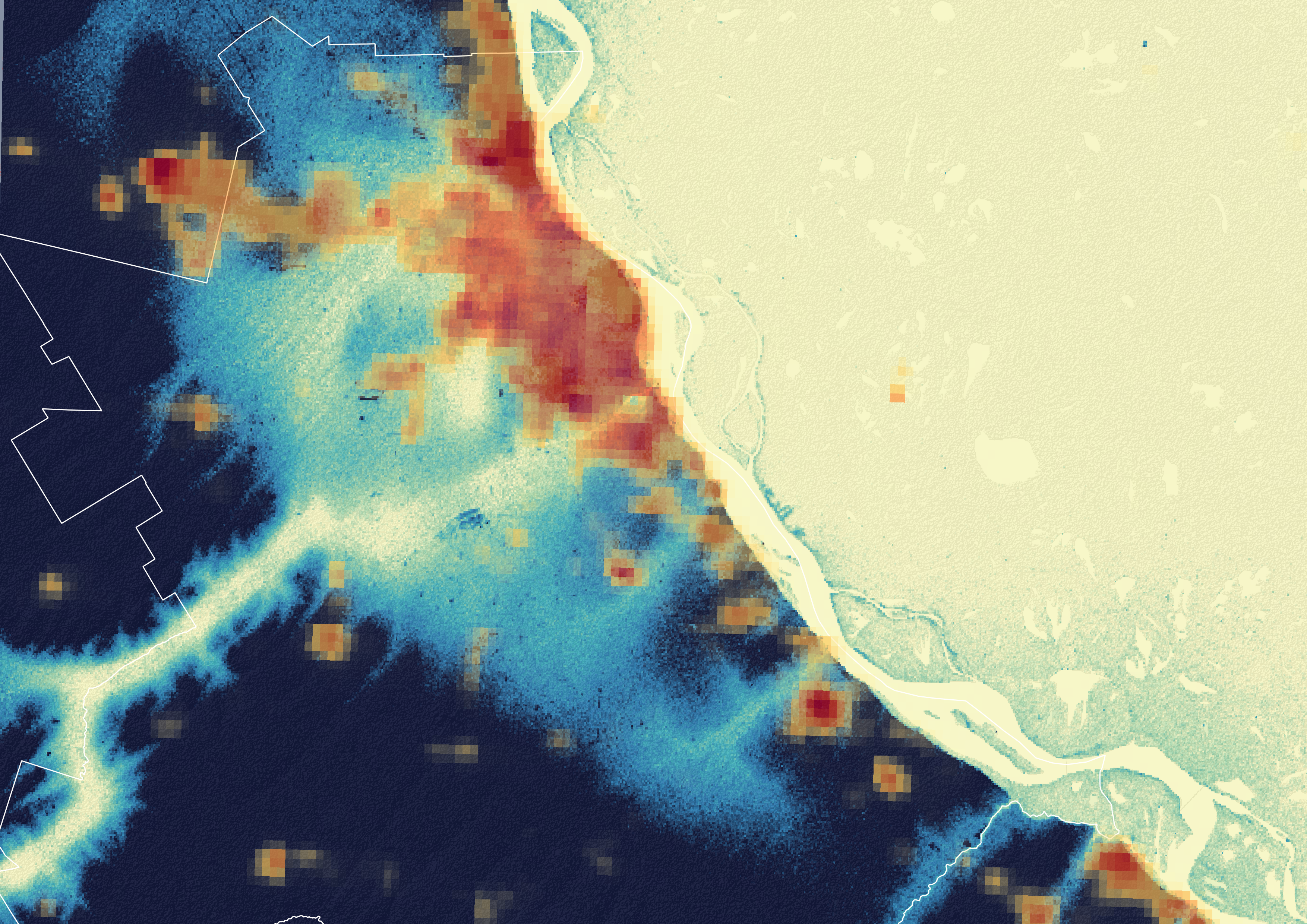
GIS, remote sensing, and earth observation workflows that turn territorial complexity into legible insights for planning, infrastructure, and environmental strategy.
- QGIS / ArcGIS workflows for urban and environmental datasets
- Google Earth Engine and satellite imagery interpretation
- Risk metrics, ETL frameworks and narrative building